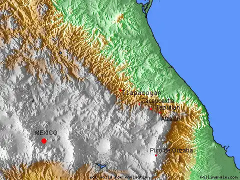
Map Atzalan Zacapoaxtla
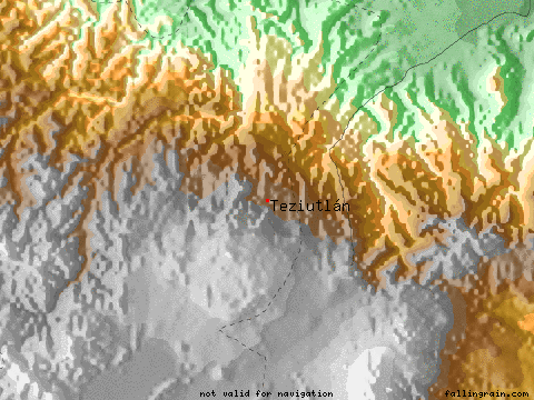
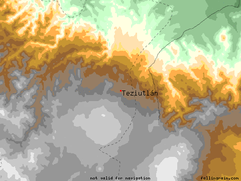
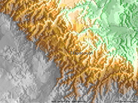
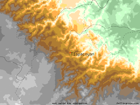
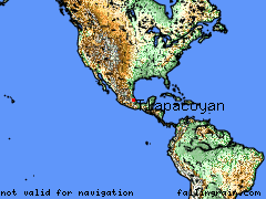
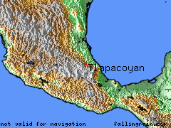
Teziutlan / Tlapacoyan, State of Vera Cruz, MexicoPermalink
Atzalan / Zacapoaxtla, State of Puebla, Mexico
**
Teziutlan
Latitude
19.8167
Longitude
-97.3500
Altitude (feet)
6269
Lat (DMS)
19° 49’ 0N
Long (DMS)
97° 20’ 60W
Altitude (meters)
1910
Tlapacoyan
Latitude
20.1167
Longitude
-97.8667
Altitude (feet)
3500
Lat (DMS)
20° 7’ 0N
Long (DMS) **
97° 52’ 0W
Altitude (meters) **
1066
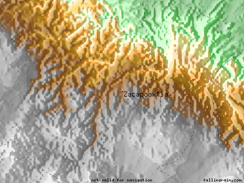
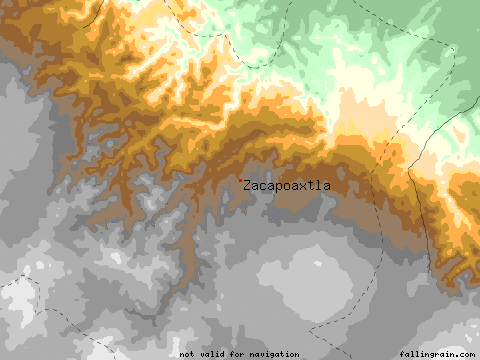
Zacapoaxtla
Latitude
19.8833
Longitude **
-97.5833
Altitude (feet) **
5757
Lat (DMS)
19° 52’ 60N
Long (DMS) **
97° 34’ 60W
Altitude (meters) **
1754
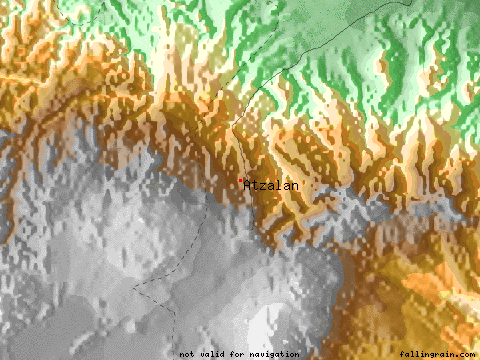
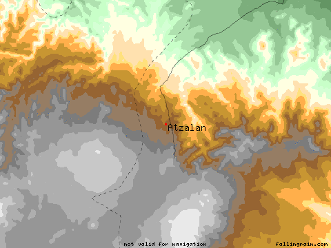
Atzalan
Latitude
19.8000
Longitude
-97.2167
Altitude (feet)
5488
Lat (DMS)
19° 48’ 0N
Long (DMS)
97° 13’ 0W
Altitude (meters)
1672
http://www.calle.com/world/mexico/index.html